Cycle path crossing the Milton Burn
Introduction
The photograph on this page of Cycle path crossing the Milton Burn by Lairich Rig as part of the Geograph project.
The Geograph project started in 2005 with the aim of publishing, organising and preserving representative images for every square kilometre of Great Britain, Ireland and the Isle of Man.

There are currently over 7.5m images from over 14,400 individuals and you can help contribute to the project by visiting https://www.geograph.org.uk
Cycle path crossing the Milton Burn
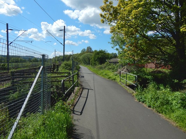
Image: © Lairich Rig Taken: 13 May 2018
The main features, as depicted on the 1:25000 map, are shown here: the footpath which is also a cycle path, the course of the burn, and the railway line. Ahead, to the right of the path, is the Image See Image for a view in the opposite direction.
Images are licensed for reuse under creativecommons.org/licenses/by-sa/2.0
Image Location
Latitude
55.935168
Longitude
-4.518123