2 and 3 The Chantry [2]
Introduction
The photograph on this page of 2 and 3 The Chantry [2] by Michael Dibb as part of the Geograph project.
The Geograph project started in 2005 with the aim of publishing, organising and preserving representative images for every square kilometre of Great Britain, Ireland and the Isle of Man.

There are currently over 7.5m images from over 14,400 individuals and you can help contribute to the project by visiting https://www.geograph.org.uk
2 and 3 The Chantry [2]
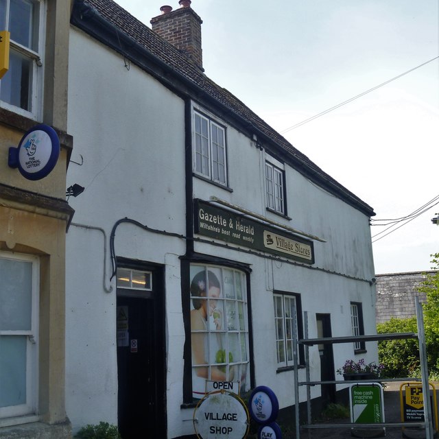
Image: © Michael Dibb Taken: 18 May 2018
This house and shop was once used, in part, as a working men's club. A much altered 15th century timber-framed building, probably a former hall-house, partly refaced in brick. Listed, grade II, with details at: https://www.historicengland.org.uk/listing/the-list/list-entry/1365545
Images are licensed for reuse under creativecommons.org/licenses/by-sa/2.0
Image Location
Latitude
51.385382
Longitude
-2.055563