The Eastern Edge of Whitley Reed
Introduction
The photograph on this page of The Eastern Edge of Whitley Reed by Paul Baxter as part of the Geograph project.
The Geograph project started in 2005 with the aim of publishing, organising and preserving representative images for every square kilometre of Great Britain, Ireland and the Isle of Man.

There are currently over 7.5m images from over 14,400 individuals and you can help contribute to the project by visiting https://www.geograph.org.uk
The Eastern Edge of Whitley Reed
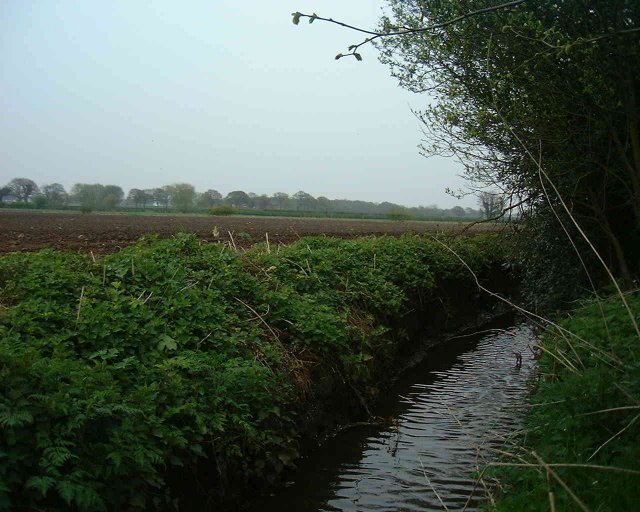
Image: © Paul Baxter Taken: Unknown
Looking towards Park Moss Nature Reserve in the distance- this is one of the drainage channels- actually better shown in the secondary Geograph already submitted for this square!
Images are licensed for reuse under creativecommons.org/licenses/by-sa/2.0
Image Location


Leaflet Map data © OpenStreetMap
Latitude
53.329282
Longitude
-2.519477