Up Sea Hill, Seaton
Introduction
The photograph on this page of Up Sea Hill, Seaton by Jaggery as part of the Geograph project.
The Geograph project started in 2005 with the aim of publishing, organising and preserving representative images for every square kilometre of Great Britain, Ireland and the Isle of Man.

There are currently over 7.5m images from over 14,400 individuals and you can help contribute to the project by visiting https://www.geograph.org.uk
Up Sea Hill, Seaton
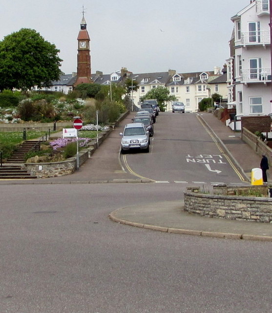
Image: © Jaggery Taken: 20 May 2018
From the eastern end of Castle Hill, Sea Hill ascends towards Beer Road. The Jubilee Clock Tower http://www.geograph.org.uk/photo/3743129 is in the background.
Images are licensed for reuse under creativecommons.org/licenses/by-sa/2.0
Image Location
Latitude
50.704253
Longitude
-3.072085