Former Sherrif Court House, High Street, Dunblane
Introduction
The photograph on this page of Former Sherrif Court House, High Street, Dunblane by Richard Sutcliffe as part of the Geograph project.
The Geograph project started in 2005 with the aim of publishing, organising and preserving representative images for every square kilometre of Great Britain, Ireland and the Isle of Man.

There are currently over 7.5m images from over 14,400 individuals and you can help contribute to the project by visiting https://www.geograph.org.uk
Former Sherrif Court House, High Street, Dunblane
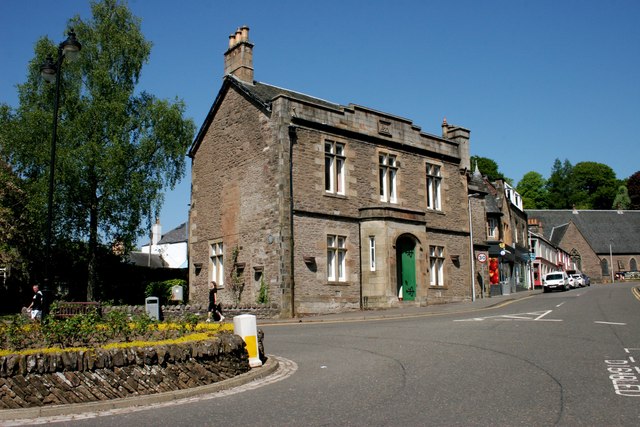
Image: © Richard Sutcliffe Taken: 24 May 2018
A prison used to sit to the left of the Court House, but this was demolished in 1963/64 [https://canmore.org.uk/site/226381/dunblane-high-street-sheriff-court-house].
Images are licensed for reuse under creativecommons.org/licenses/by-sa/2.0
Image Location
Latitude
56.18861
Longitude
-3.963852