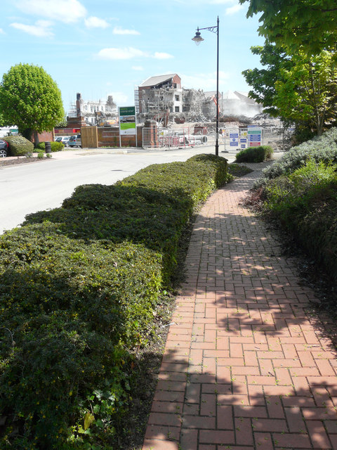
Colonial House, Quayside, Chatham Maritime
Introduction
The photograph on this page of Colonial House, Quayside, Chatham Maritime by John Baker as part of the Geograph project.
The Geograph project started in 2005 with the aim of publishing, organising and preserving representative images for every square kilometre of Great Britain, Ireland and the Isle of Man.
There are currently over 7.5m images from over 14,400 individuals and you can help contribute to the project by visiting https://www.geograph.org.uk

Image: © John Baker Taken: 9 May 2018
Planning permission was approved, with conditions, by Medway Council under application number MC/14/3631 for the “outline planning permission with all matters reserved for future consideration, except access, for demolition of existing buildings and structures and redevelopment for a mixed development of up to 253 apartments and houses and up to 339 sq m (3,650 sq ft) of Class A1 floorspace (as defined by the Town and Country Planning (Use Classes) Order 1987 (as amended)) together with vehicular and pedestrian access, formal and informal public open space, hard and soft landscaping and associated services”. This image of Image shows the demolition site, when there was more of the building remaining.

