Wingfield Cross
Introduction
The photograph on this page of Wingfield Cross by Phil Williams as part of the Geograph project.
The Geograph project started in 2005 with the aim of publishing, organising and preserving representative images for every square kilometre of Great Britain, Ireland and the Isle of Man.

There are currently over 7.5m images from over 14,400 individuals and you can help contribute to the project by visiting https://www.geograph.org.uk
Wingfield Cross
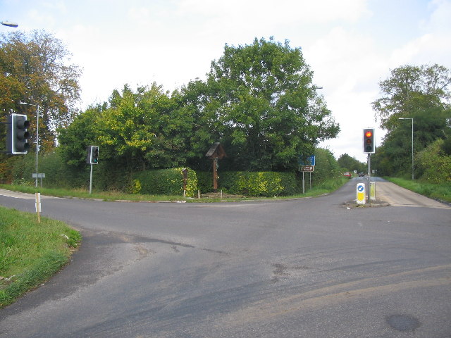
Image: © Phil Williams Taken: 25 Sep 2005
Looking north along the B3109 from Frome to Bradford-on-Avon, where it crosses the A366 from Trowbridge (right) to Radstock (left). The war memorial can be seen at centre.
Images are licensed for reuse under creativecommons.org/licenses/by-sa/2.0
Image Location


Leaflet Map data © OpenStreetMap
Latitude
51.313626
Longitude
-2.25821