The Inns at Rowarth
Introduction
The photograph on this page of The Inns at Rowarth by Dave Dunford as part of the Geograph project.
The Geograph project started in 2005 with the aim of publishing, organising and preserving representative images for every square kilometre of Great Britain, Ireland and the Isle of Man.

There are currently over 7.5m images from over 14,400 individuals and you can help contribute to the project by visiting https://www.geograph.org.uk
The Inns at Rowarth
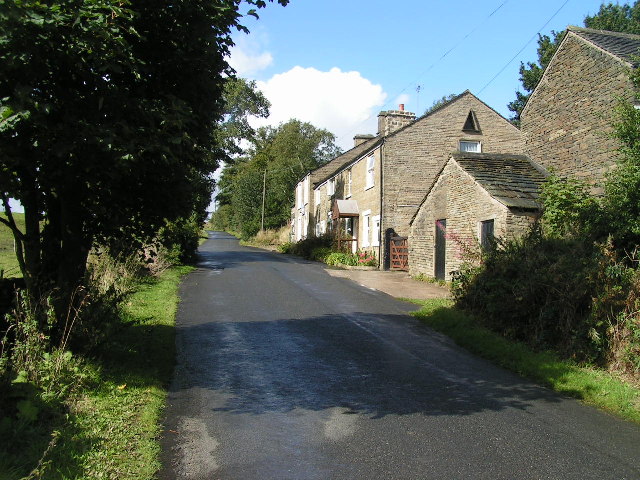
Image: © Dave Dunford Taken: 25 Sep 2005
A 17th-century former coaching inn, in 1926 this building was named The Children's Inn and was used to provide country holidays for children from Manchester; in 1933 the complex was taken over by the Guide Association, who now run it as an Outdoor Activities Centre. See http://www.theinnsatrowarth.org.uk . The Mass Trespass on Kinder Scout (see Image) was planned here at Easter 1932.
Images are licensed for reuse under creativecommons.org/licenses/by-sa/2.0
Image Location


Leaflet Map data © OpenStreetMap
Latitude
53.399626
Longitude
-1.993945