School playing field view
Introduction
The photograph on this page of School playing field view by Neil Theasby as part of the Geograph project.
The Geograph project started in 2005 with the aim of publishing, organising and preserving representative images for every square kilometre of Great Britain, Ireland and the Isle of Man.

There are currently over 7.5m images from over 14,400 individuals and you can help contribute to the project by visiting https://www.geograph.org.uk
School playing field view
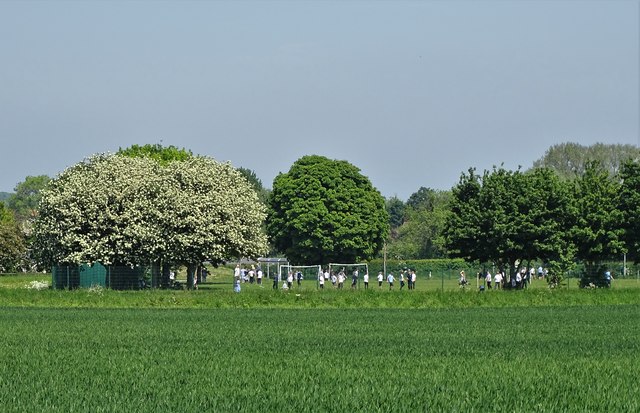
Image: © Neil Theasby Taken: 24 May 2018
Seen from Stygate Lane. Norton Primary School is blessed with a large green playing field - now rather sadly surrounded by a metal security fence.
Images are licensed for reuse under creativecommons.org/licenses/by-sa/2.0
Image Location
Latitude
53.627719
Longitude
-1.178301