Tredegar Terrace, Crosskeys
Introduction
The photograph on this page of Tredegar Terrace, Crosskeys by Jaggery as part of the Geograph project.
The Geograph project started in 2005 with the aim of publishing, organising and preserving representative images for every square kilometre of Great Britain, Ireland and the Isle of Man.

There are currently over 7.5m images from over 14,400 individuals and you can help contribute to the project by visiting https://www.geograph.org.uk
Tredegar Terrace, Crosskeys
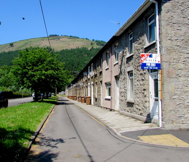
Image: © Jaggery Taken: 23 May 2018
The row of houses extends for 100 metres to the corner of St Catherine's Court. A shorter row https://www.geograph.org.uk/photo/5784008 of Tredegar Terrace houses is behind the camera.
Images are licensed for reuse under creativecommons.org/licenses/by-sa/2.0
Image Location
Latitude
51.61714
Longitude
-3.131017