Fence and boundary in Monks Road, Exeter
Introduction
The photograph on this page of Fence and boundary in Monks Road, Exeter by David Smith as part of the Geograph project.
The Geograph project started in 2005 with the aim of publishing, organising and preserving representative images for every square kilometre of Great Britain, Ireland and the Isle of Man.

There are currently over 7.5m images from over 14,400 individuals and you can help contribute to the project by visiting https://www.geograph.org.uk
Fence and boundary in Monks Road, Exeter
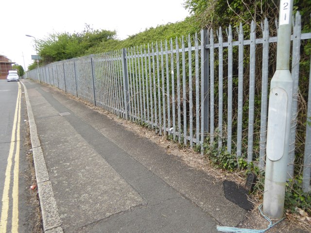
Image: © David Smith Taken: 12 May 2018
The fence protects the railway line near Polsloe Bridge station. At the base of the lamp post is a small metal plaque of the pre-1948 railway company marking the boundary of their land
Images are licensed for reuse under creativecommons.org/licenses/by-sa/2.0
Image Location
Latitude
50.731504
Longitude
-3.503329