
Wimborne Minster: the public footpath goes down these steps
Introduction
The photograph on this page of Wimborne Minster: the public footpath goes down these steps by Chris Downer as part of the Geograph project.
The Geograph project started in 2005 with the aim of publishing, organising and preserving representative images for every square kilometre of Great Britain, Ireland and the Isle of Man.

There are currently over 7.5m images from over 14,400 individuals and you can help contribute to the project by visiting https://www.geograph.org.uk
Wimborne Minster: the public footpath goes down these steps
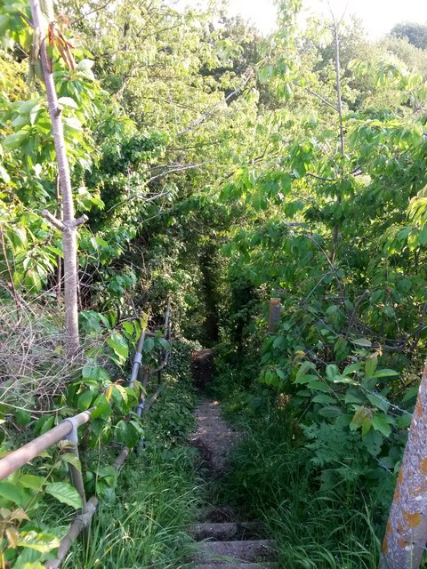
Image: © Chris Downer Taken: 22 May 2018
The footpath from Canford Magna to Leigh Common has headed over the farm-track bridge just behind us, and now heads down these steps to run alongside the Wimborne Bypass for a few hundred yards before diverging from it. Before the bypass was opened, in 1981, I am almost certain that the path continued its route to the west of here, but was diverted to come alongside the road and make use of the bridge.
Images are licensed for reuse under creativecommons.org/licenses/by-sa/2.0
Image Location

Latitude
50.794068
Longitude
-1.958661