Colehill: eastern edge of Leigh Common
Introduction
The photograph on this page of Colehill: eastern edge of Leigh Common by Chris Downer as part of the Geograph project.
The Geograph project started in 2005 with the aim of publishing, organising and preserving representative images for every square kilometre of Great Britain, Ireland and the Isle of Man.

There are currently over 7.5m images from over 14,400 individuals and you can help contribute to the project by visiting https://www.geograph.org.uk
Colehill: eastern edge of Leigh Common
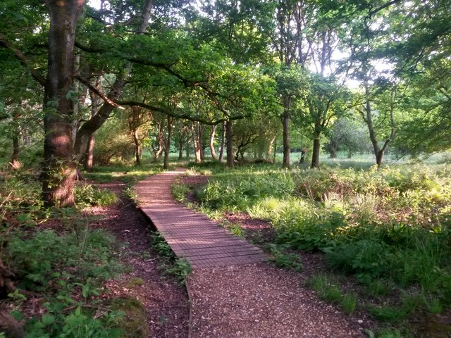
Image: © Chris Downer Taken: 22 May 2018
The Common features several paths - some gravelled and some, where necessary, elevated as a boardwalk - and is mainly woodland with a little open meadow.
Images are licensed for reuse under creativecommons.org/licenses/by-sa/2.0
Image Location
Latitude
50.800094
Longitude
-1.961919