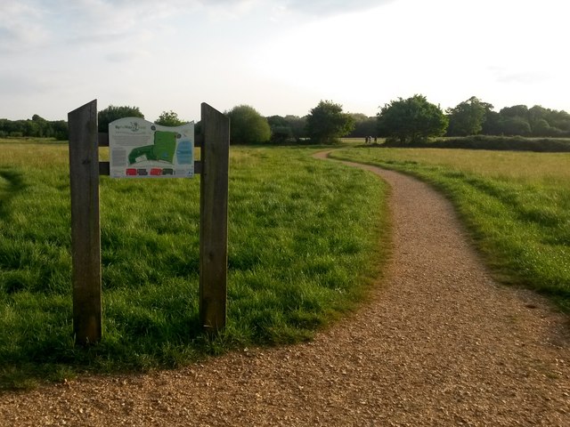
Colehill: across Bytheway Field
Introduction
The photograph on this page of Colehill: across Bytheway Field by Chris Downer as part of the Geograph project.
The Geograph project started in 2005 with the aim of publishing, organising and preserving representative images for every square kilometre of Great Britain, Ireland and the Isle of Man.
There are currently over 7.5m images from over 14,400 individuals and you can help contribute to the project by visiting https://www.geograph.org.uk

Image: © Chris Downer Taken: 22 May 2018
Looking westward across this vast, lovely open space from near the Churchmoor Road entrance, on its eastern side. The information board proclaims it as "a great place for people and wildlife" and on an evening like this it was certainly very popular. I recall in the early 1980s, as a child, passing the house called Bytheway just along here, and initially thinking it was Welsh!

