Golf course
Introduction
The photograph on this page of Golf course by Alan Hughes as part of the Geograph project.
The Geograph project started in 2005 with the aim of publishing, organising and preserving representative images for every square kilometre of Great Britain, Ireland and the Isle of Man.

There are currently over 7.5m images from over 14,400 individuals and you can help contribute to the project by visiting https://www.geograph.org.uk
Golf course
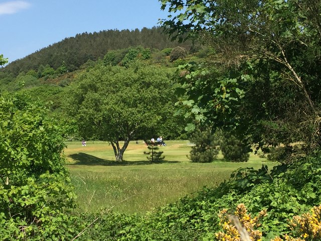
Image: © Alan Hughes Taken: 22 May 2018
Glimpse of Earlswood golf course through the hedgerow trees alongside the A483.
Images are licensed for reuse under creativecommons.org/licenses/by-sa/2.0
Image Location
Latitude
51.625823
Longitude
-3.849398