Barley near Combeshead Farm
Introduction
The photograph on this page of Barley near Combeshead Farm by Derek Harper as part of the Geograph project.
The Geograph project started in 2005 with the aim of publishing, organising and preserving representative images for every square kilometre of Great Britain, Ireland and the Isle of Man.

There are currently over 7.5m images from over 14,400 individuals and you can help contribute to the project by visiting https://www.geograph.org.uk
Barley near Combeshead Farm
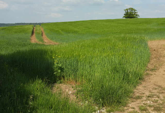
Image: © Derek Harper Taken: 21 May 2018
A hill that rises to just over 140 metres (a little to the left of the tree), though the nearest mapped spot height is on a nearby lower hill at 118 metres.
Images are licensed for reuse under creativecommons.org/licenses/by-sa/2.0
Image Location
Latitude
50.619468
Longitude
-3.602949