View from the northern end of Hardy Road
Introduction
The photograph on this page of View from the northern end of Hardy Road by Evelyn Simak as part of the Geograph project.
The Geograph project started in 2005 with the aim of publishing, organising and preserving representative images for every square kilometre of Great Britain, Ireland and the Isle of Man.

There are currently over 7.5m images from over 14,400 individuals and you can help contribute to the project by visiting https://www.geograph.org.uk
View from the northern end of Hardy Road
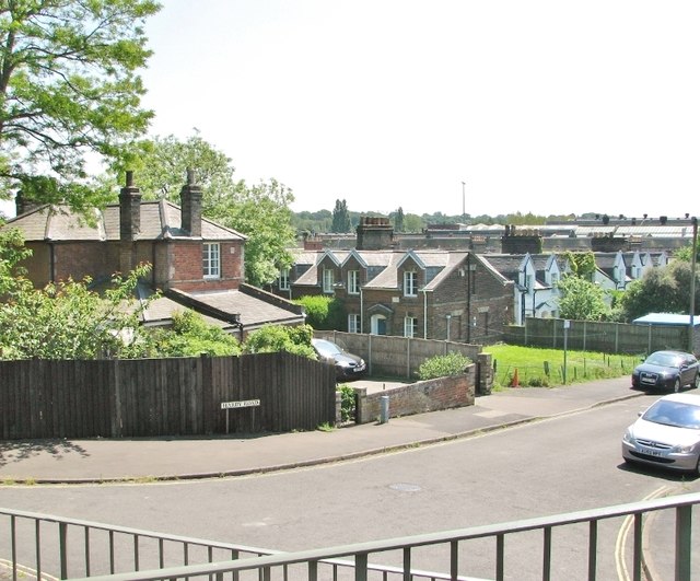
Image: © Evelyn Simak Taken: 20 May 2018
The house seen at left is "Ebeneezer" at 10 Hardy Road > http://www.geograph.org.uk/photo/5781844 and was built in 1847 for the railway manager. Adjoining it in the south are the Railway Cottages > https://www.geograph.org.uk/photo/5781828, built in the same year to house railway workers.
Images are licensed for reuse under creativecommons.org/licenses/by-sa/2.0
Image Location
Latitude
52.623086
Longitude
1.313903