Firth
Introduction
The photograph on this page of Firth by Mike Pennington as part of the Geograph project.
The Geograph project started in 2005 with the aim of publishing, organising and preserving representative images for every square kilometre of Great Britain, Ireland and the Isle of Man.

There are currently over 7.5m images from over 14,400 individuals and you can help contribute to the project by visiting https://www.geograph.org.uk
Firth
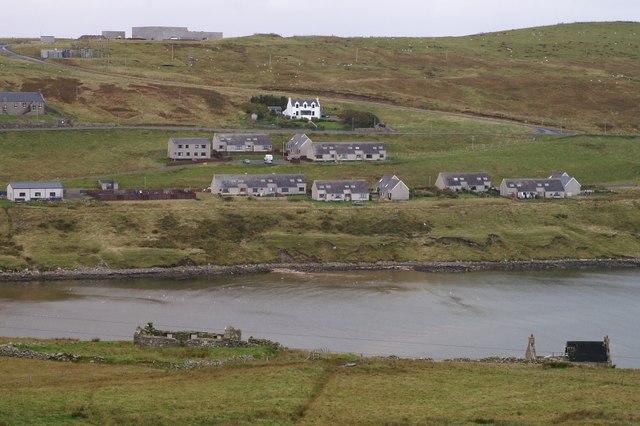
Image: © Mike Pennington Taken: 7 Oct 2007
Firths Voe with housing from the oil era and pre-oil era beyond and, on the skyline, the Fraser Peterson Centre, no longer used, but built as a leisure centre for use by construction workers building Sullom Voe Terminal.
Images are licensed for reuse under creativecommons.org/licenses/by-sa/2.0
Image Location
Latitude
60.447113
Longitude
-1.200175