Riverside Way, Seaton
Introduction
The photograph on this page of Riverside Way, Seaton by Jaggery as part of the Geograph project.
The Geograph project started in 2005 with the aim of publishing, organising and preserving representative images for every square kilometre of Great Britain, Ireland and the Isle of Man.

There are currently over 7.5m images from over 14,400 individuals and you can help contribute to the project by visiting https://www.geograph.org.uk
Riverside Way, Seaton
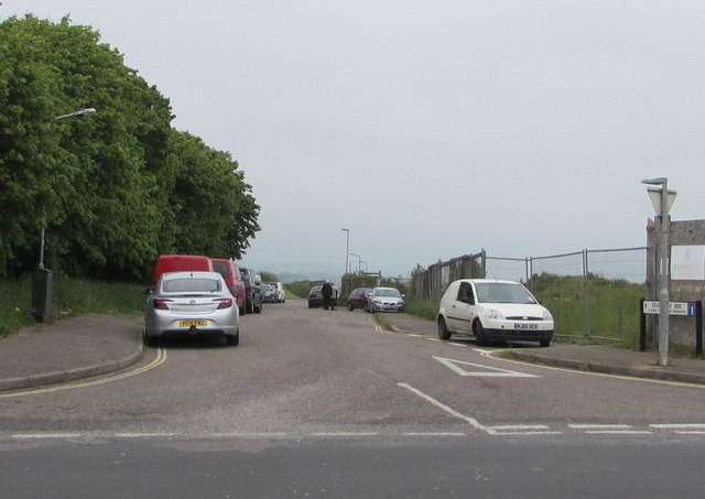
Image: © Jaggery Taken: 20 May 2018
A dead-end road on the north side of Harbour Road, Riverside Way leads to Riverside Workshops on the west bank of the River Axe.
Images are licensed for reuse under creativecommons.org/licenses/by-sa/2.0
Image Location
Latitude
50.704707
Longitude
-3.061757