The B3174 east of the Hand and Pen
Introduction
The photograph on this page of The B3174 east of the Hand and Pen by Martin Bodman as part of the Geograph project.
The Geograph project started in 2005 with the aim of publishing, organising and preserving representative images for every square kilometre of Great Britain, Ireland and the Isle of Man.

There are currently over 7.5m images from over 14,400 individuals and you can help contribute to the project by visiting https://www.geograph.org.uk
The B3174 east of the Hand and Pen
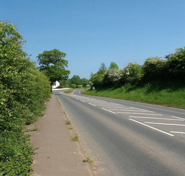
Image: © Martin Bodman Taken: 20 May 2018
The road can be seen to swing south-eastwards, heading towards and climbing up to Straightway Head Big Wood. But 2,000 years ago the Roman road ran straight on
Images are licensed for reuse under creativecommons.org/licenses/by-sa/2.0
Image Location
Latitude
50.755314
Longitude
-3.350836