Cranbrook New Town development
Introduction
The photograph on this page of Cranbrook New Town development by Martin Bodman as part of the Geograph project.
The Geograph project started in 2005 with the aim of publishing, organising and preserving representative images for every square kilometre of Great Britain, Ireland and the Isle of Man.

There are currently over 7.5m images from over 14,400 individuals and you can help contribute to the project by visiting https://www.geograph.org.uk
Cranbrook New Town development
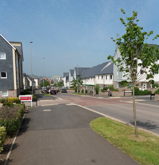
Image: © Martin Bodman Taken: 20 May 2018
With the turning to Seven Acres on the left and on the right the street is known as Three Corner Field. This is the south-western edge of the development
Images are licensed for reuse under creativecommons.org/licenses/by-sa/2.0
Image Location
Latitude
50.744821
Longitude
-3.416585