Haselbury Plucknett, footpath somewhere
Introduction
The photograph on this page of Haselbury Plucknett, footpath somewhere by Mike Faherty as part of the Geograph project.
The Geograph project started in 2005 with the aim of publishing, organising and preserving representative images for every square kilometre of Great Britain, Ireland and the Isle of Man.

There are currently over 7.5m images from over 14,400 individuals and you can help contribute to the project by visiting https://www.geograph.org.uk
Haselbury Plucknett, footpath somewhere
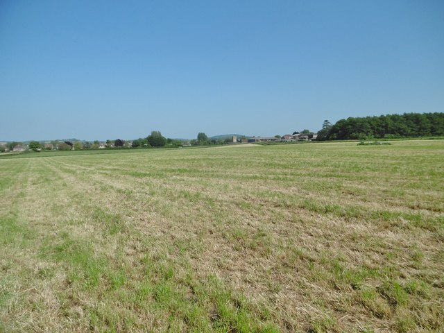
Image: © Mike Faherty Taken: 19 May 2018
From A30 to the village. The sign on A30 is fallen, stile overgrown, and no sign of a path across the mown field; despite being on a named route (Liberty Trail).
Images are licensed for reuse under creativecommons.org/licenses/by-sa/2.0
Image Location
Latitude
50.89744
Longitude
-2.760125