Air traffic control beacon
Introduction
The photograph on this page of Air traffic control beacon by Philip Halling as part of the Geograph project.
The Geograph project started in 2005 with the aim of publishing, organising and preserving representative images for every square kilometre of Great Britain, Ireland and the Isle of Man.

There are currently over 7.5m images from over 14,400 individuals and you can help contribute to the project by visiting https://www.geograph.org.uk
Air traffic control beacon
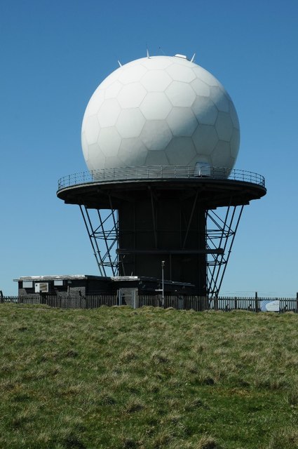
Image: © Philip Halling Taken: 14 May 2018
Air traffic control beacon on the summit of Titterstone Clee Hill. The beacon is part of the National Air Traffic Services (NATS) radar network, it monitors all aircraft within a 100-mile radius.
Images are licensed for reuse under creativecommons.org/licenses/by-sa/2.0
Image Location


Leaflet Map data © OpenStreetMap
Latitude
52.398144
Longitude
-2.597385