Walton Park Garden
Introduction
The photograph on this page of Walton Park Garden by Paul Collins as part of the Geograph project.
The Geograph project started in 2005 with the aim of publishing, organising and preserving representative images for every square kilometre of Great Britain, Ireland and the Isle of Man.

There are currently over 7.5m images from over 14,400 individuals and you can help contribute to the project by visiting https://www.geograph.org.uk
Walton Park Garden
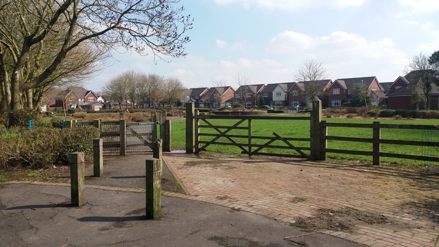
Image: © Paul Collins Taken: 14 Apr 2018
This pocket park is viewed from where the Old Tram Road crosses Hennal Lane
Images are licensed for reuse under creativecommons.org/licenses/by-sa/2.0
Image Location
Latitude
53.737507
Longitude
-2.686411