View over Ellacombe
Introduction
The photograph on this page of View over Ellacombe by Derek Harper as part of the Geograph project.
The Geograph project started in 2005 with the aim of publishing, organising and preserving representative images for every square kilometre of Great Britain, Ireland and the Isle of Man.

There are currently over 7.5m images from over 14,400 individuals and you can help contribute to the project by visiting https://www.geograph.org.uk
View over Ellacombe
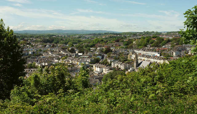
Image: © Derek Harper Taken: 15 May 2018
From close to the end of Higher Warberry Road where it meets the track extension of Rosehill Road. Right of centre is Christ Church http://www.geograph.org.uk/search.php?i=83959709 . Dartmoor is on the horizon.
Images are licensed for reuse under creativecommons.org/licenses/by-sa/2.0
Image Location
Latitude
50.471207
Longitude
-3.526059