Fleur de Lys RFC clubhouse, High Street, Fleur-de-lis
Introduction
The photograph on this page of Fleur de Lys RFC clubhouse, High Street, Fleur-de-lis by Jaggery as part of the Geograph project.
The Geograph project started in 2005 with the aim of publishing, organising and preserving representative images for every square kilometre of Great Britain, Ireland and the Isle of Man.

There are currently over 7.5m images from over 14,400 individuals and you can help contribute to the project by visiting https://www.geograph.org.uk
Fleur de Lys RFC clubhouse, High Street, Fleur-de-lis
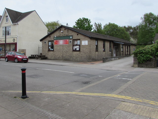
Image: © Jaggery Taken: 11 May 2018
RFC = Rugby Football Club. The name on the banner is Fleur de Lys, one of many variant spellings of the village name. The local authority, Caerphilly County Borough Council, uses the spelling Fleur-de-lis. See http://www.geograph.org.uk/photo/5776321 for some notes about the village name.
Images are licensed for reuse under creativecommons.org/licenses/by-sa/2.0
Image Location
Latitude
51.663427
Longitude
-3.22268