Track to East Badworthy
Introduction
The photograph on this page of Track to East Badworthy by Derek Harper as part of the Geograph project.
The Geograph project started in 2005 with the aim of publishing, organising and preserving representative images for every square kilometre of Great Britain, Ireland and the Isle of Man.

There are currently over 7.5m images from over 14,400 individuals and you can help contribute to the project by visiting https://www.geograph.org.uk
Track to East Badworthy
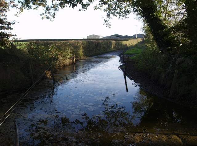
Image: © Derek Harper Taken: 4 Oct 2007
Potential visitors to the farm will be pleased to know that an alternative entrance exists, directly from the Shebbear to Langtree lane; this one turns away from the equally off-putting Image at this point.
Images are licensed for reuse under creativecommons.org/licenses/by-sa/2.0
Image Location
Latitude
50.895462
Longitude
-4.199713