View near the summit of Caer Fawr
Introduction
The photograph on this page of View near the summit of Caer Fawr by Andrew Hill as part of the Geograph project.
The Geograph project started in 2005 with the aim of publishing, organising and preserving representative images for every square kilometre of Great Britain, Ireland and the Isle of Man.

There are currently over 7.5m images from over 14,400 individuals and you can help contribute to the project by visiting https://www.geograph.org.uk
View near the summit of Caer Fawr
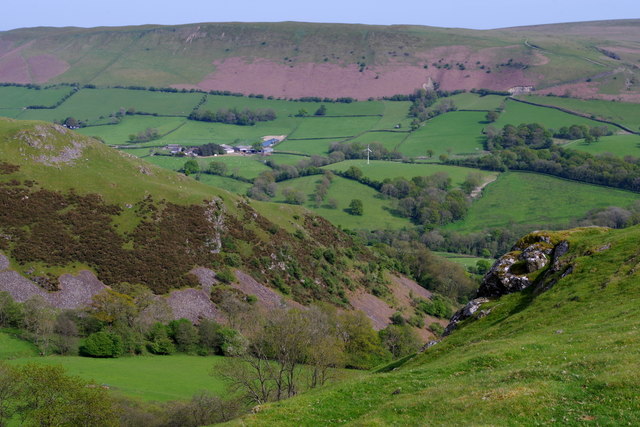
Image: © Andrew Hill Taken: 17 May 2018
Looking across the steep slopes of the spur dropping below Caer Einon and up very steep slopes beyond which form the northern edge of Aberedw Hill. The farm on the hillside opposite is Tremaen.
Images are licensed for reuse under creativecommons.org/licenses/by-sa/2.0
Image Location
Latitude
52.166213
Longitude
-3.370641