The road from High Hesket to the A6
Introduction
The photograph on this page of The road from High Hesket to the A6 by David Purchase as part of the Geograph project.
The Geograph project started in 2005 with the aim of publishing, organising and preserving representative images for every square kilometre of Great Britain, Ireland and the Isle of Man.

There are currently over 7.5m images from over 14,400 individuals and you can help contribute to the project by visiting https://www.geograph.org.uk
The road from High Hesket to the A6
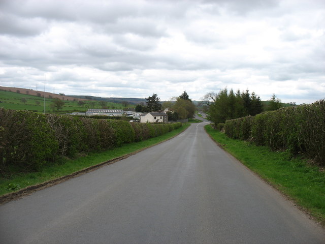
Image: © David Purchase Taken: 28 Apr 2018
Clearly the A6, following the line of a Roman Road, originally went through High Hesket. But a bypass was built a short distance to the west of the village between the two World Wars - so long ago that I have not been able to establish an exact date. The A6 can be seen at the junction some way ahead. Of course that, in its turn, is now bypassed by the M6.
Images are licensed for reuse under creativecommons.org/licenses/by-sa/2.0
Image Location
Latitude
54.786823
Longitude
-2.812459