Access Avenue from Boswell Farm
Introduction
The photograph on this page of Access Avenue from Boswell Farm by Chris Heaton as part of the Geograph project.
The Geograph project started in 2005 with the aim of publishing, organising and preserving representative images for every square kilometre of Great Britain, Ireland and the Isle of Man.

There are currently over 7.5m images from over 14,400 individuals and you can help contribute to the project by visiting https://www.geograph.org.uk
Access Avenue from Boswell Farm
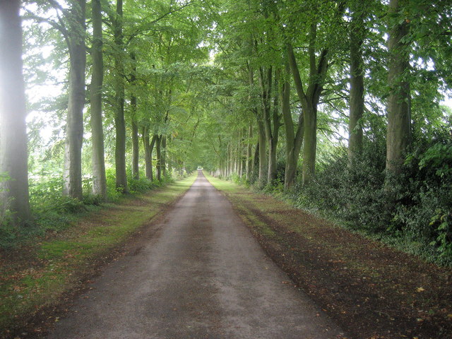
Image: © Chris Heaton Taken: 30 Sep 2007
Taken from the Ridgeway National Trail outside Boswell Farm, this looks down the access lane towards the A413.
Images are licensed for reuse under creativecommons.org/licenses/by-sa/2.0
Image Location


Leaflet Map data © OpenStreetMap
Latitude
51.750562
Longitude
-0.726488