Bridleway along the River Tyne
Introduction
The photograph on this page of Bridleway along the River Tyne by Graham Robson as part of the Geograph project.
The Geograph project started in 2005 with the aim of publishing, organising and preserving representative images for every square kilometre of Great Britain, Ireland and the Isle of Man.

There are currently over 7.5m images from over 14,400 individuals and you can help contribute to the project by visiting https://www.geograph.org.uk
Bridleway along the River Tyne
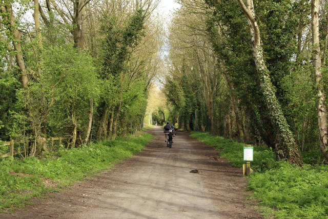
Image: © Graham Robson Taken: 22 Apr 2018
A wide bridleway and cycle path close to the north bank of the River Tyne to the east of Wylam.
Images are licensed for reuse under creativecommons.org/licenses/by-sa/2.0
Image Location
Latitude
54.976947
Longitude
-1.813584