Ascending the Narrow Lane beside Drumbuie Burn
Introduction
The photograph on this page of Ascending the Narrow Lane beside Drumbuie Burn by Chris Heaton as part of the Geograph project.
The Geograph project started in 2005 with the aim of publishing, organising and preserving representative images for every square kilometre of Great Britain, Ireland and the Isle of Man.

There are currently over 7.5m images from over 14,400 individuals and you can help contribute to the project by visiting https://www.geograph.org.uk
Ascending the Narrow Lane beside Drumbuie Burn
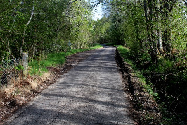
Image: © Chris Heaton Taken: 10 May 2018
The lane runs steeply from the A82, east of Drumnadrochit. It serves some isolated farms and homesteads before ending on moors and upland pastures below Loch Glanaidh
Images are licensed for reuse under creativecommons.org/licenses/by-sa/2.0
Image Location
Latitude
57.339735
Longitude
-4.465622