Unstable clay cliff, Round Hill
Introduction
The photograph on this page of Unstable clay cliff, Round Hill by Robin Webster as part of the Geograph project.
The Geograph project started in 2005 with the aim of publishing, organising and preserving representative images for every square kilometre of Great Britain, Ireland and the Isle of Man.

There are currently over 7.5m images from over 14,400 individuals and you can help contribute to the project by visiting https://www.geograph.org.uk
Unstable clay cliff, Round Hill
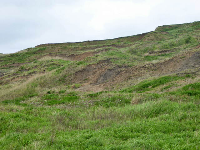
Image: © Robin Webster Taken: 16 May 2018
East of cliff top permanent housing, no attempt has been made to stabilize the cliff with a drainage system or sea wall, and this is the result.
Images are licensed for reuse under creativecommons.org/licenses/by-sa/2.0
Image Location
Latitude
51.425264
Longitude
0.821313