Track junction, Ashclyst Forest
Introduction
The photograph on this page of Track junction, Ashclyst Forest by Derek Harper as part of the Geograph project.
The Geograph project started in 2005 with the aim of publishing, organising and preserving representative images for every square kilometre of Great Britain, Ireland and the Isle of Man.

There are currently over 7.5m images from over 14,400 individuals and you can help contribute to the project by visiting https://www.geograph.org.uk
Track junction, Ashclyst Forest
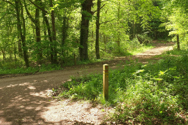
Image: © Derek Harper Taken: 13 May 2018
The waymark post indicates that the red trail heads across the track, while the yellow trail turns right along it.
Images are licensed for reuse under creativecommons.org/licenses/by-sa/2.0
Image Location
Latitude
50.784065
Longitude
-3.421175