12, Jointon Road
Introduction
The photograph on this page of 12, Jointon Road by John Baker as part of the Geograph project.
The Geograph project started in 2005 with the aim of publishing, organising and preserving representative images for every square kilometre of Great Britain, Ireland and the Isle of Man.

There are currently over 7.5m images from over 14,400 individuals and you can help contribute to the project by visiting https://www.geograph.org.uk
12, Jointon Road
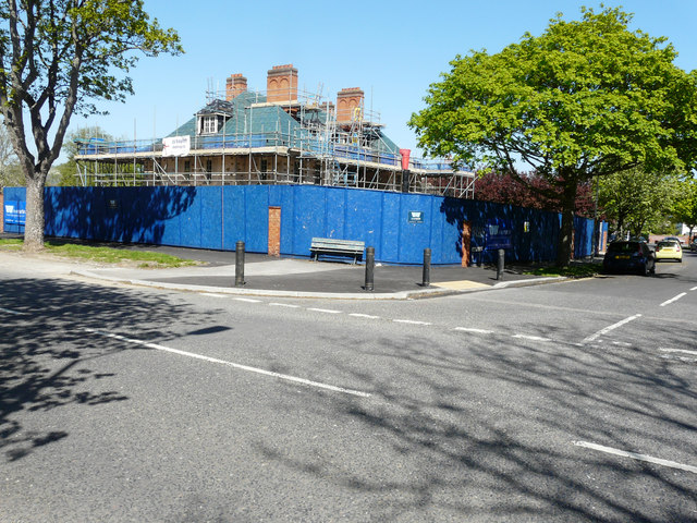
Image: © John Baker Taken: 6 May 2018
Planning permission was approved, with conditions, by Folkestone and Hythe District Council under application number Y15/0178/SH for the “demolition of rear and side extensions and conversion of existing building to form 2 self-contained dwellings and construction of two blocks to the rear garden to form 6 townhouses”. This image shows Image in March 2017.
Images are licensed for reuse under creativecommons.org/licenses/by-sa/2.0
Image Location
Latitude
51.079616
Longitude
1.165346