Nant Fydd
Introduction
The photograph on this page of Nant Fydd by Alan Hughes as part of the Geograph project.
The Geograph project started in 2005 with the aim of publishing, organising and preserving representative images for every square kilometre of Great Britain, Ireland and the Isle of Man.

There are currently over 7.5m images from over 14,400 individuals and you can help contribute to the project by visiting https://www.geograph.org.uk
Nant Fydd
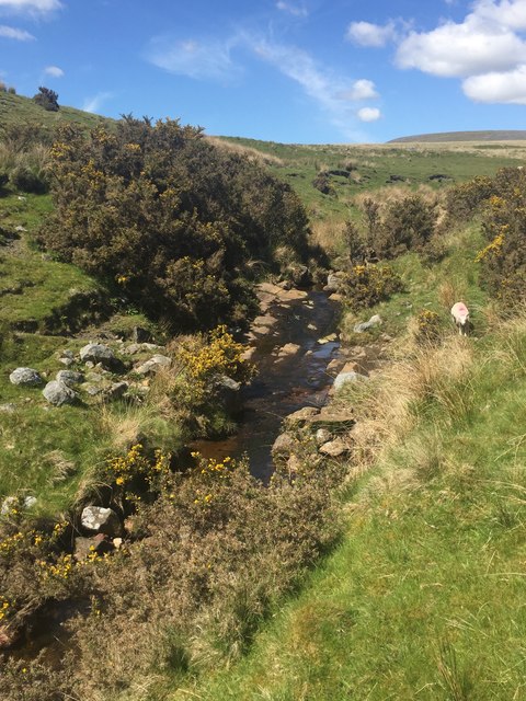
Image: © Alan Hughes Taken: 15 May 2018
Nant Fydd, a stream flowing down from the western side of Foel Deg, shortly before it joins the Aman which flows down from the eastern side.
Images are licensed for reuse under creativecommons.org/licenses/by-sa/2.0
Image Location


Leaflet Map data © OpenStreetMap
Latitude
51.812282
Longitude
-3.840486