A boater's view of the M6 motorway bridge at Witton
Introduction
The photograph on this page of A boater's view of the M6 motorway bridge at Witton by Christine Johnstone as part of the Geograph project.
The Geograph project started in 2005 with the aim of publishing, organising and preserving representative images for every square kilometre of Great Britain, Ireland and the Isle of Man.

There are currently over 7.5m images from over 14,400 individuals and you can help contribute to the project by visiting https://www.geograph.org.uk
A boater's view of the M6 motorway bridge at Witton
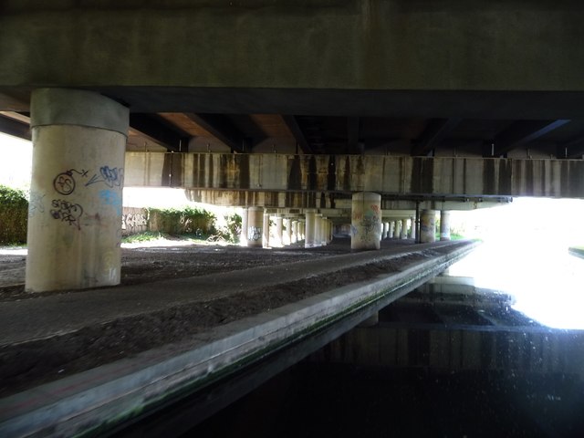
Image: © Christine Johnstone Taken: 5 May 2018
The Tame Valley canal opened in 1844, the motorway above it in 1970.
Images are licensed for reuse under creativecommons.org/licenses/by-sa/2.0
Image Location
Latitude
52.523118
Longitude
-1.882048