1870 plaque on Mount Zion Methodist Church, Gellihaf Road, Fleur-de-lis
Introduction
The photograph on this page of 1870 plaque on Mount Zion Methodist Church, Gellihaf Road, Fleur-de-lis by Jaggery as part of the Geograph project.
The Geograph project started in 2005 with the aim of publishing, organising and preserving representative images for every square kilometre of Great Britain, Ireland and the Isle of Man.

There are currently over 7.5m images from over 14,400 individuals and you can help contribute to the project by visiting https://www.geograph.org.uk
1870 plaque on Mount Zion Methodist Church, Gellihaf Road, Fleur-de-lis
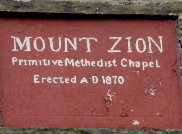
Image: © Jaggery Taken: 16 May 2018
On the wall of this church. https://www.geograph.org.uk/photo/5775619 Methedist is an error for Methodist. In 2018 the church name is Mount Zion Methodist Church.
Images are licensed for reuse under creativecommons.org/licenses/by-sa/2.0
Image Location
Latitude
51.661465
Longitude
-3.221181