Alton Bridge
Introduction
The photograph on this page of Alton Bridge by Mike Faherty as part of the Geograph project.
The Geograph project started in 2005 with the aim of publishing, organising and preserving representative images for every square kilometre of Great Britain, Ireland and the Isle of Man.

There are currently over 7.5m images from over 14,400 individuals and you can help contribute to the project by visiting https://www.geograph.org.uk
Alton Bridge
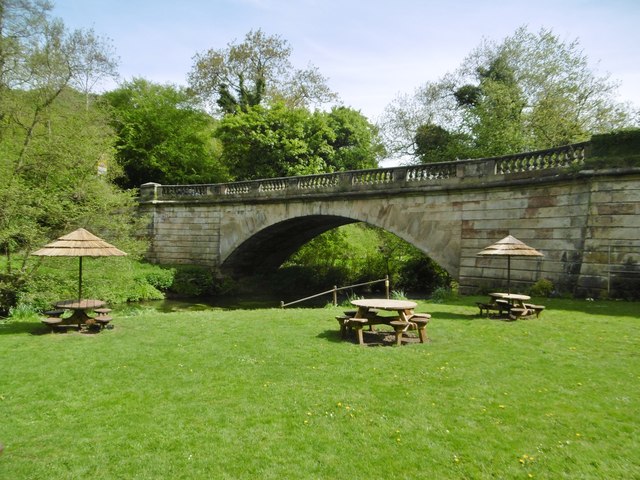
Image: © Mike Faherty Taken: 13 May 2018
Over River Churnet; early C19, listed by Historic England (Grade II): http://www.imagesofengland.org.uk/Details/Default.aspx?id=275043&mode=adv
Images are licensed for reuse under creativecommons.org/licenses/by-sa/2.0
Image Location


Leaflet Map data © OpenStreetMap
Latitude
52.980249
Longitude
-1.894661