Pavement towards Fleur-de-lis Post Office
Introduction
The photograph on this page of Pavement towards Fleur-de-lis Post Office by Jaggery as part of the Geograph project.
The Geograph project started in 2005 with the aim of publishing, organising and preserving representative images for every square kilometre of Great Britain, Ireland and the Isle of Man.

There are currently over 7.5m images from over 14,400 individuals and you can help contribute to the project by visiting https://www.geograph.org.uk
Pavement towards Fleur-de-lis Post Office
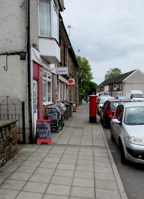
Image: © Jaggery Taken: 11 May 2018
The red pillarbox is near the post office entrance on the east side of High Street. The village name has several variant spellings - Fleur-de-lis or Fleur-de-lys with hyphens, or spaces instead of hyphens. De Lys/De Lis is sometimes spelt with initial capital letters, sometimes not.
Images are licensed for reuse under creativecommons.org/licenses/by-sa/2.0
Image Location
Latitude
51.662711
Longitude
-3.222372