Road works
Introduction
The photograph on this page of Road works by Jonathan Wilkins as part of the Geograph project.
The Geograph project started in 2005 with the aim of publishing, organising and preserving representative images for every square kilometre of Great Britain, Ireland and the Isle of Man.

There are currently over 7.5m images from over 14,400 individuals and you can help contribute to the project by visiting https://www.geograph.org.uk
Road works
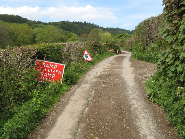
Image: © Jonathan Wilkins Taken: 12 May 2018
Colourful signage on the minor road to Ty Nant and other houses on the side of the valley. The south-western verge is collapsing under the weight of traffic, and is being shored-up and re-surfaced selectively.
Images are licensed for reuse under creativecommons.org/licenses/by-sa/2.0
Image Location
Latitude
53.207094
Longitude
-3.785916