Clearing the path
Introduction
The photograph on this page of Clearing the path by Chris Morgan as part of the Geograph project.
The Geograph project started in 2005 with the aim of publishing, organising and preserving representative images for every square kilometre of Great Britain, Ireland and the Isle of Man.

There are currently over 7.5m images from over 14,400 individuals and you can help contribute to the project by visiting https://www.geograph.org.uk
Clearing the path
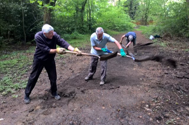
Image: © Chris Morgan Taken: 10 May 2018
Near Totley Rise, volunteers shovel mud off the path through the woods leading down from Bradway Bank
Images are licensed for reuse under creativecommons.org/licenses/by-sa/2.0
Image Location
Latitude
53.319757
Longitude
-1.523793