Babel Hall
Introduction
The photograph on this page of Babel Hall by Nigel Davies as part of the Geograph project.
The Geograph project started in 2005 with the aim of publishing, organising and preserving representative images for every square kilometre of Great Britain, Ireland and the Isle of Man.

There are currently over 7.5m images from over 14,400 individuals and you can help contribute to the project by visiting https://www.geograph.org.uk
Babel Hall
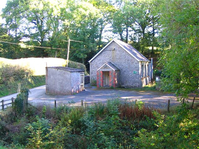
Image: © Nigel Davies Taken: 5 Oct 2007
There is a sign pointing towards this small building on a junction. The sign bears the name Babel Hall and can be read by travellers leaving Babel.
Images are licensed for reuse under creativecommons.org/licenses/by-sa/2.0
Image Location


Leaflet Map data © OpenStreetMap
Latitude
52.00655
Longitude
-3.700126