Farmland near Way Farm
Introduction
The photograph on this page of Farmland near Way Farm by Derek Harper as part of the Geograph project.
The Geograph project started in 2005 with the aim of publishing, organising and preserving representative images for every square kilometre of Great Britain, Ireland and the Isle of Man.

There are currently over 7.5m images from over 14,400 individuals and you can help contribute to the project by visiting https://www.geograph.org.uk
Farmland near Way Farm
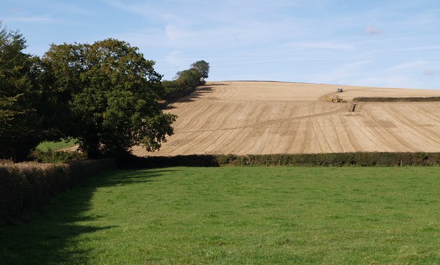
Image: © Derek Harper Taken: 4 Oct 2007
Work is in progress to remove a field boundary, creating a grain field of considerable size by the standards of North Devon. Curiously, the 1:1250 map shows that it has already gone! A view from the Patchel Cross to Filleighmoor Gate lane.
Images are licensed for reuse under creativecommons.org/licenses/by-sa/2.0
Image Location


Leaflet Map data © OpenStreetMap
Latitude
50.859219
Longitude
-4.141594