The Tay floodplain at Weem
Introduction
The photograph on this page of The Tay floodplain at Weem by John Allan as part of the Geograph project.
The Geograph project started in 2005 with the aim of publishing, organising and preserving representative images for every square kilometre of Great Britain, Ireland and the Isle of Man.

There are currently over 7.5m images from over 14,400 individuals and you can help contribute to the project by visiting https://www.geograph.org.uk
The Tay floodplain at Weem
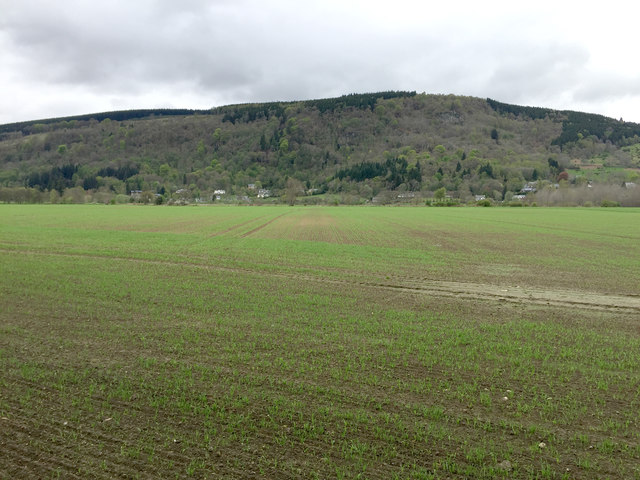
Image: © John Allan Taken: 8 May 2018
Newly sprouting crop on the fertile, flat ground on the north bank of the Tay.
Images are licensed for reuse under creativecommons.org/licenses/by-sa/2.0
Image Location
Latitude
56.619292
Longitude
-3.878106