Platwoods Farm, near Skidby
Introduction
The photograph on this page of Platwoods Farm, near Skidby by Paul Harrop as part of the Geograph project.
The Geograph project started in 2005 with the aim of publishing, organising and preserving representative images for every square kilometre of Great Britain, Ireland and the Isle of Man.

There are currently over 7.5m images from over 14,400 individuals and you can help contribute to the project by visiting https://www.geograph.org.uk
Platwoods Farm, near Skidby
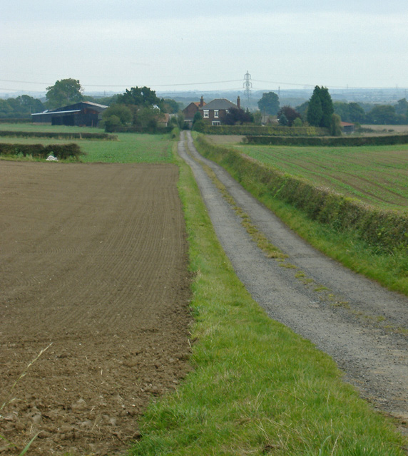
Image: © Paul Harrop Taken: 6 Oct 2007
Seen from the bypassed section of the former A164, now a footpath/cycleway
Images are licensed for reuse under creativecommons.org/licenses/by-sa/2.0
Image Location
Latitude
53.801597
Longitude
-0.447132