Lane and field near Maes-y-cwm farm
Introduction
The photograph on this page of Lane and field near Maes-y-cwm farm by Andrew Hill as part of the Geograph project.
The Geograph project started in 2005 with the aim of publishing, organising and preserving representative images for every square kilometre of Great Britain, Ireland and the Isle of Man.

There are currently over 7.5m images from over 14,400 individuals and you can help contribute to the project by visiting https://www.geograph.org.uk
Lane and field near Maes-y-cwm farm
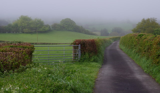
Image: © Andrew Hill Taken: 12 May 2018
A little brighter, hopeful signs that the mist will lift.
Images are licensed for reuse under creativecommons.org/licenses/by-sa/2.0
Image Location
Latitude
52.132926
Longitude
-3.395333