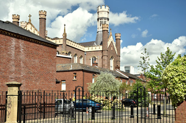
Joy Street, Belfast (May 2018)
Introduction
The photograph on this page of Joy Street, Belfast (May 2018) by Albert Bridge as part of the Geograph project.
The Geograph project started in 2005 with the aim of publishing, organising and preserving representative images for every square kilometre of Great Britain, Ireland and the Isle of Man.
There are currently over 7.5m images from over 14,400 individuals and you can help contribute to the project by visiting https://www.geograph.org.uk

Image: © Albert Bridge Taken: 12 May 2018
“The Troubles” generated (at least) two lasting changes to urban planning in NI. The first was the closure of town-centre streets to vehicular traffic (other than deliveries) - later established practice enhanced by environmental improvements. Once it became clear that civil disorder was going to be a feature of urban life, new social housing was built in a manner intended to eliminate long, through streets replacing them with short cul-de-sacs which could be blocked by just one army or police Land Rover. The practice evolved into today’s “courtyard” designs Image This scene is towards the Ormeau Avenue end of Joy Street - used only as an example.

