Twenty Acres
Introduction
The photograph on this page of Twenty Acres by Simon Carey as part of the Geograph project.
The Geograph project started in 2005 with the aim of publishing, organising and preserving representative images for every square kilometre of Great Britain, Ireland and the Isle of Man.

There are currently over 7.5m images from over 14,400 individuals and you can help contribute to the project by visiting https://www.geograph.org.uk
Twenty Acres
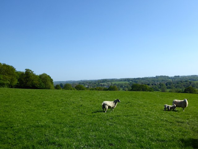
Image: © Simon Carey Taken: 6 May 2018
The name of the field according to Etchingham's 1839 tithe map that is bounded by Fysie Lane to the north and Church Hill to the west. The small wood on the left is the southern tip of Groundsfield Pit. The village of Etchingham can be seen in the distance.
Images are licensed for reuse under creativecommons.org/licenses/by-sa/2.0
Image Location
Latitude
51.01863
Longitude
0.438061