Shaw Farm, Fysie Lane
Introduction
The photograph on this page of Shaw Farm, Fysie Lane by Simon Carey as part of the Geograph project.
The Geograph project started in 2005 with the aim of publishing, organising and preserving representative images for every square kilometre of Great Britain, Ireland and the Isle of Man.

There are currently over 7.5m images from over 14,400 individuals and you can help contribute to the project by visiting https://www.geograph.org.uk
Shaw Farm, Fysie Lane
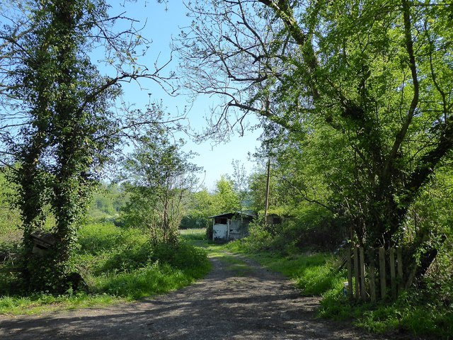
Image: © Simon Carey Taken: 6 May 2018
Seems to be a fairly recent addition as it isn't marked on a 1961 OS map but appears on a later 1975 edition. Located on the eastern side of Brickfield Pit.
Images are licensed for reuse under creativecommons.org/licenses/by-sa/2.0
Image Location
Latitude
51.018059
Longitude
0.443878